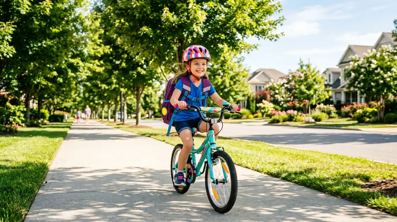
Walking to school promotes physical activity, independence, and healthy daily habits for young students. Taking the time to evaluate, plan, and map out the safest walking path ensures your child’s morning commute is secure, predictable, and stress-free.
Why Pre-Planning Your School Commute Matters
For many elementary and middle school students, the daily walk to school is a cherished milestone of growing up. It provides valuable fresh air, social interaction with peers, and a chance to build confidence. However, navigating modern suburban neighborhoods presents unique challenges, from busy commuter shortcuts to missing sidewalk links and high-speed intersections.
The shortest distance between your front door and the school gates is not always the safest. By taking a proactive approach to map a safe walking route to school, parents can steer their children away from high-traffic arteries, dangerous blind turns, and unlit pathways while maximizing the use of protected crosswalks, crossing guards, and designated pedestrian corridors.
Step 1: Conduct a Digital Map Assessment
Before lacing up your walking shoes, begin your route planning at home using satellite mapping tools or municipal GIS maps. Digital mapping allows you to identify potential pedestrian paths, nearby parks, residential side streets, and established school zones.
Key Elements to Identify on Your Digital Overview:
- Low-Volume Residential Streets: Prioritize quiet neighborhood roads over multi-lane arterial avenues where vehicle speeds are significantly higher.
- Controlled Intersections: Look for intersections equipped with four-way stop signs, traffic signals, or designated pedestrian signals.
- Designated Pedestrian Pathways: Highlight paved multi-use paths, greenways, or neighborhood cut-throughs that bypass roadway traffic entirely.
- Official School Entrances: Identify designated pedestrian gates rather than main vehicular drop-off loops, which can experience heavy traffic congestion during bell times.
For broader community frameworks and regional pedestrian planning tools, visit the national resource center supported by the Safe Routes Partnership.
Step 2: Perform an In-Person Sidewalk and Infrastructure Audit
Satellite images cannot capture low-hanging branches, broken pavement, overgrown bushes blocking sightlines, or unplowed winter snowbanks. Walking the proposed route in person is essential for evaluating real-world conditions.
Schedule your test walk during actual school drop-off or pick-up hours (typically 7:30 AM – 8:30 AM and 2:30 PM – 3:30 PM) to observe traffic patterns at their peak.
Infrastructure Audit Checklist:
- Sidewalk Continuity: Are sidewalks present on both sides of the street? Are there sudden gaps where children must step onto the roadway?
- Crosswalk Visibility: Are crosswalk lines brightly painted? Are there high-visibility “Yield to Pedestrians” signs or flashing warning beacons?
- Curb Ramps and Accessibility: Are curb ramps installed at corners to accommodate strollers, bicycles, and mobility devices?
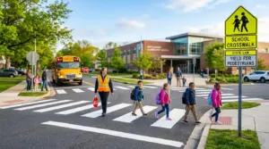
- Crossing Guard Stations: Note the exact locations and operating schedules of paid or volunteer school crossing guards.
- Sightlines and Driveways: Check for high-density residential driveways or commercial alleys where backing vehicles might have limited visibility of small children.
Step 3: Identify Potential Hazards and Establish “Safe Havens”
Even well-maintained neighborhoods can present environmental or situational risks. As you audit the route, identify high-hazard zones and designate emergency fallback options along the path.
Common Hazards to Avoid:
- Uncontrolled left-turn lanes where drivers focus on oncoming traffic rather than pedestrians in the crosswalk.
- Roadways with posted speed limits above 25 mph lacking buffer zones or physical barriers between the sidewalk and traffic.
- Construction sites, vacant lots, or areas with heavy commercial truck traffic.
- Dark, heavily shaded, or isolated corridors lacking residential eyes on the street.
Identifying Neighborhood “Safe Havens”:
Teach your child where they can go if they feel unsafe, encounter an aggressive dog, or experience bad weather. Trusted safe havens include a neighbor’s house (parents you know personally), a local library, a fire station, or the school premises itself.
Step 4: Practice the Commute Together Multiple Times
Once you have selected the optimal route, walk it together with your child several times before they ever travel it independently or with friends. Children perceive traffic differently than adults; they often struggle to judge the speed and distance of approaching vehicles accurately.
Key Skills to Reinforce During Practice Walks:
- The “Stop, Look, and Listen” Routine: Teach children to stop at the curb edge, look left-right-left, and listen for incoming engines before stepping into any roadway.
- Eye Contact with Drivers: Instruct young pedestrians to make eye contact with stopped drivers before crossing in front of a vehicle to confirm they have been seen.
- Staying Distraction-Free: Enforce a strict policy against using mobile phones, wearing noise-canceling headphones, or playing with handheld devices while walking.
- Walking in Groups: Encourage your child to walk alongside siblings or neighbors. Group visibility is significantly higher than solo pedestrian visibility.
Step 5: Create a Printable Visual Map and Review Seasonally
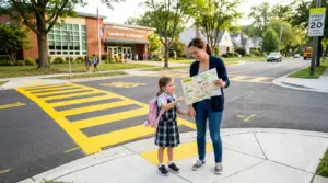
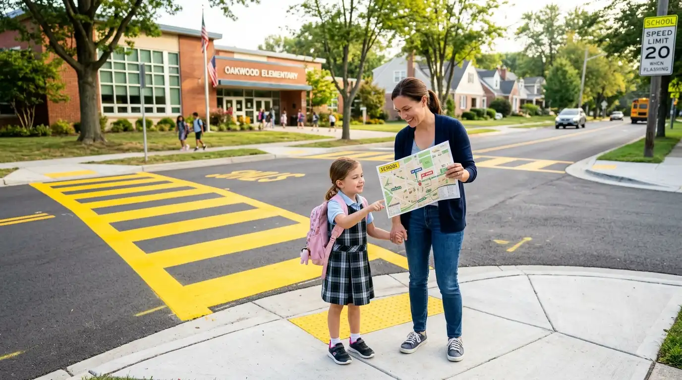
 Transform your chosen path into a simple, visual guide. You can draw the route on a printed neighborhood map, highlighting major landmarks, crossing points, and safe havens in bright colors. Hang this visual map near your family’s entryway or mudroom as a daily visual reminder.
Remember that school route safety changes throughout the year. Re-evaluate your mapped path seasonally:
- Autumn/Winter Adjustments: Accounts for shorter daylight hours, requiring reflective outerwear, clip-on lights, and alternative paths away from unplowed snow drifts.
- Spring/Summer Adjustments: Checks for overgrown summer vegetation that may obstruct pedestrian crossing signs or sidewalk paths.